Post written by Andrew Allan, Chris Spray and Cathy Smith
On Sunday 22nd March it is World Water Day, and this year’s theme is ‘water and climate change’. To honour the event, this week we are publishing five blog posts exploring different sides of the multifaceted relationship between water and climate change. Each post highlights research at the Centre that touches on these, some of the most urgent problems facing humanity today. Today’s post considers the links between climate change and flood risk.
In many parts of the world, including the UK, scientists predict a greater frequency of extreme rainfall events as part of the effects of climate change. An overall rise in flood events has been observed in recent years, with the effects disproportionately falling on the poor. As this winter has shown us, these are not distant risks: we are already struggling to cope with more extreme rainfall events and flooding. In coastal, and especially deltaic areas, the impact of sea level rise compounds this problem. It increases the likelihood of storm surges breaching coastal defences, and creates additional problems for farmers whose livelihoods are destroyed by salt water inundation of their fields.
The natural environment plays an important role in affecting flood risk by regulating drainage and the flow of water. The way that humans manage the environment can affect flood risk through a number of mechanisms. Deforestation for example, can increase local flooding and sediment build-up, and the broader processes of urbanisation that are being seen around the world lead to increased risk. More impermeable surfaces like roads and pavements impede drainage and the proximity of more dense human settlements makes the potential human impact of flood events all the more damaging. These risks can be mitigated to some extent by mapping those areas that are most susceptible to flooding, allowing planners to ensure that homes, for instance, are not constructed in floodplains. Ensuring that construction does not take place in areas of high flood risk is difficult however: very often such locations are desirable for homeowners or for agriculture. Critically, the maps of flood risk areas must be updated regularly to take account not only of recent construction on floodplains, but also to reflect the impact of climate change.

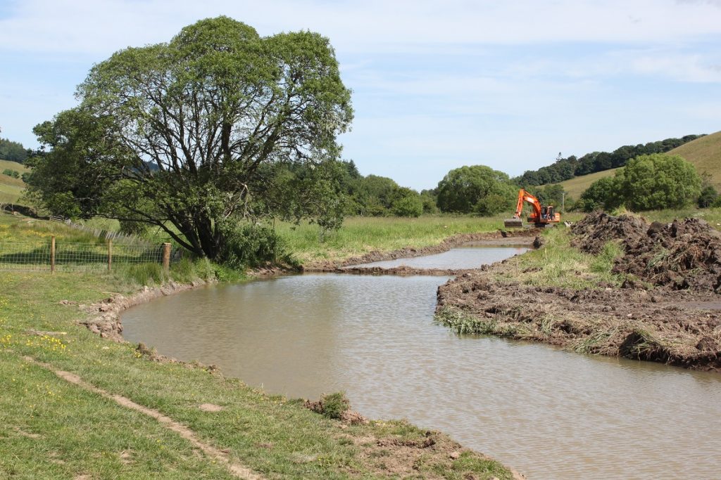
In the past, our approach to protecting ourselves from floods has often entailed construction of physical flood defences. As has been seen around the world however, we cannot rely on these as our only form of defence, and this will become even less true as the impact of climate change continues to rise. They can be bolstered through adaptation methods such as natural flood management techniques that can help tackle floods at both the source (uplands), and along watercourses themselves by slowing or storing water. The Centre has been working on implementing these techniques in the Eddleston Water Project through tree planting, the use of sacrificial land and re-meandering. Stakeholder engagement is a crucial part of these efforts.
Finally, legal responses to all of these challenges have begun to appear, both in the context of disaster risk management approaches and through broader connection to water resource management (e.g. in the EU Floods Directive). Ensuring that legal and institutional frameworks are suitably robust and adaptable will be a key challenge in the coming years.

